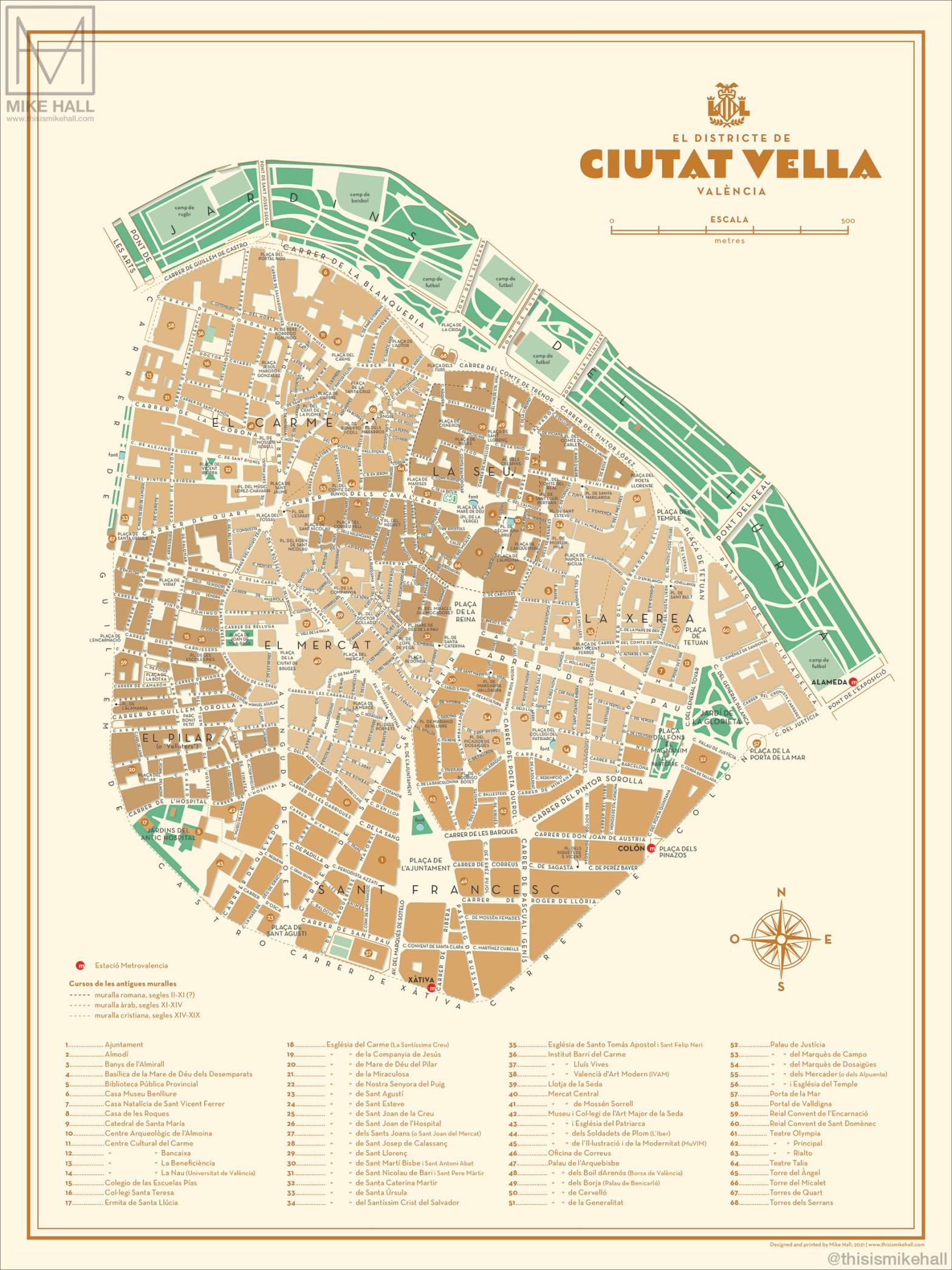
One of the most obvious differences between what a map of my everyday physical environment would look like in Valencia versus at home in Florida is that in Valencia I mostly traveled only within about a 15-minute walk from my apartment, which is a very small area. On my map of inhabited spaces from Valencia, I was center the map on old town Valencia. I would include my apartment building, the two main FSU study centers, the Torres de Serranos (the most important landmark in my neighborhood), the closest McDonalds, the Express convenience store where I bought most of my groceries, and the school I volunteered at, Colegio Sagrado Corazón. I would also include the airport and the bus station because these places were important for my travel, and I visited both several times while living in Valencia. Besides restaurants, my other FSU friends’ apartment buildings, and some shops, these were the main places I inhabited during my time abroad. These spaces are very similar to the spaces I frequently inhabit at home in Tallahassee, which mostly are my apartment, classroom buildings on campus, the restaurant where I work, and the grocery store. A notable difference between these maps is how I would get from place to place. Sadly, while living in Tallahassee and especially at home with my parents in Clearwater, I hardly ever walk to my destination and instead almost always drive there. In Valencia, I obviously did not have a car so I would have to walk or take the metro wherever I needed to go. I thoroughly enjoyed this change in lifestyle.
A Map of My Daily Spaces